
Chandapur topographic map
Interactive map
Click on the map to display elevation.
About this map
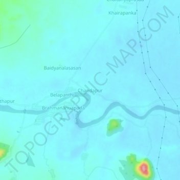
Name: Chandapur topographic map, elevation, terrain.
Location: Chandapur, Nuagaon, Ganjam, Odisha, 761011, India (19.22124 84.50239 19.26124 84.54239)
Average elevation: 148 ft
Minimum elevation: 112 ft
Maximum elevation: 535 ft