
Castlegar topographic map
Interactive map
Click on the map to display elevation.
About this map
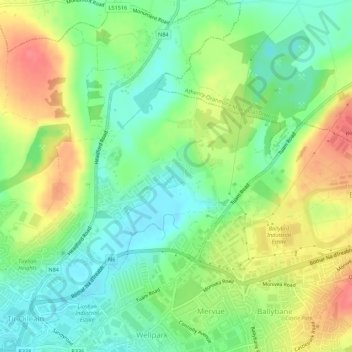
Name: Castlegar topographic map, elevation, terrain.
Location: Castlegar, Galway City, County Galway, Connacht, Ireland (53.28231 -9.04542 53.31503 -9.00666)
Average elevation: 92 ft
Minimum elevation: -3 ft
Maximum elevation: 213 ft
Other topographic maps
Click on a map to view its topography, its elevation and its terrain.
Townparks
Ireland > Galway City > Galway City
Townparks, St Nicholas, Galway City, County Galway, Connacht, Ireland
Average elevation: 23 ft