
Woodland Center topographic map
Interactive map
Click on the map to display elevation.
About this map
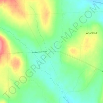
Name: Woodland Center topographic map, elevation, terrain.
Location: Woodland Center, Aroostook County, Maine, USA (46.86532 -68.16198 46.90532 -68.12198)
Average elevation: 663 ft
Minimum elevation: 548 ft
Maximum elevation: 840 ft