
Bulange topographic map
Interactive map
Click on the map to display elevation.
About this map
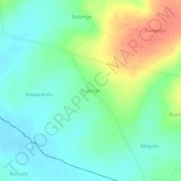
Name: Bulange topographic map, elevation, terrain.
Location: Bulange, Namutumba, Eastern Region, Ouganda (0.70889 33.68361 0.74889 33.72361)
Average elevation: 3,573 ft
Minimum elevation: 3,507 ft
Maximum elevation: 3,704 ft