
Shahdad topographic map
Interactive map
Click on the map to display elevation.
About this map
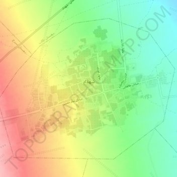
Name: Shahdad topographic map, elevation, terrain.
Location: Shahdad, بخش شهداد, Kerman County, Kerman Province, Iran (30.40175 57.67805 30.43417 57.72534)
Average elevation: 1,486 ft
Minimum elevation: 1,296 ft
Maximum elevation: 1,699 ft