
Collbran topographic map
Interactive map
Click on the map to display elevation.
About this map
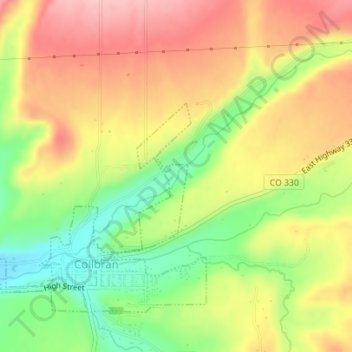
Name: Collbran topographic map, elevation, terrain.
Location: Collbran, Mesa County, Colorado, USA (39.24165 -107.95717 39.25288 -107.95180)
Average elevation: 6,211 ft
Minimum elevation: 5,942 ft
Maximum elevation: 6,447 ft