
Sleeuwijk topographic map
Interactive map
Click on the map to display elevation.
About this map
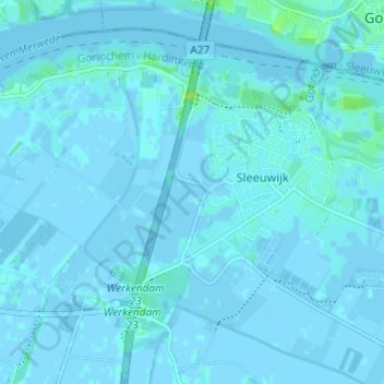
Name: Sleeuwijk topographic map, elevation, terrain.
Location: Sleeuwijk, Altena, North Brabant, Netherlands (51.79664 4.90913 51.82853 4.96963)
Average elevation: 3 ft
Minimum elevation: -10 ft
Maximum elevation: 36 ft