
Margret topographic map
Interactive map
Click on the map to display elevation.
About this map
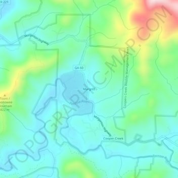
Name: Margret topographic map, elevation, terrain.
Location: Margret, Fannin County, Georgia, USA (34.73453 -84.16603 34.77453 -84.12603)
Average elevation: 2,241 ft
Minimum elevation: 1,932 ft
Maximum elevation: 3,215 ft