
Macrozona Lago Argentino topographic map
Interactive map
Click on the map to display elevation.
About this map
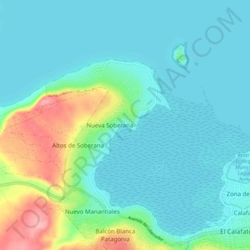
Name: Macrozona Lago Argentino topographic map, elevation, terrain.
Average elevation: 659 ft
Minimum elevation: 577 ft
Maximum elevation: 971 ft
Other topographic maps
Click on a map to view its topography, its elevation and its terrain.
El Calafate
El Calafate, Lago Argentino, Santa Cruz, Z9405, Argentina
Average elevation: 1,102 ft