
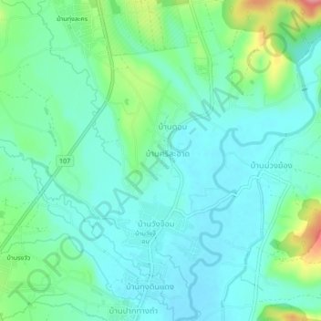
Ban Sisa Ati topographic map
Interactive map
Click on the map to display elevation.
About this map
Name: Ban Sisa Ati topographic map, elevation, terrain.
Location: Ban Sisa Ati, Chiang Mai Province, Thailand (19.37188 98.94904 19.41188 98.98904)
Average elevation: 1,342 ft
Minimum elevation: 1,257 ft
Maximum elevation: 1,611 ft