Geolocate

Ridgecrest topographic map

Click on the map to display elevation.

About this map

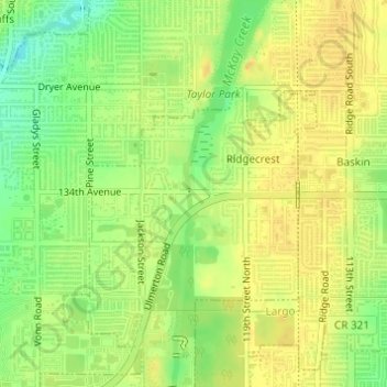
Name: Ridgecrest topographic map, elevation, terrain.

Location: Ridgecrest, Largo, Pinellas County, Florida, United States (27.88729 -82.81598 27.90215 -82.79801)

Average elevation: 59 ft

Minimum elevation: 0 ft

Maximum elevation: 89 ft

Pinellas County trails, hiking, mountain biking, running and outdoor activities

Gear up for your next adventure:

🧣Hiking Neck Gaiter - Multi‑use neck protection for outdoor weather
👟Trail Running Shoes - Lightweight shoes for trail runners
🪶Survival Guide Book - Expert advice for emergency preparedness
🧯Emergency Survival Kit - All‑in‑one survival essentials for the backcountry
🎒Outdoor Daypacks - Lightweight backpacks designed for carrying maps and essential gear

As an Amazon Associate, this site earns from qualifying purchases at no extra cost to you.