
Arcu Mannu topographic map
Interactive map
Click on the map to display elevation.
About this map
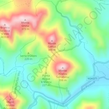
Name: Arcu Mannu topographic map, elevation, terrain.
Location: Arcu Mannu, San Vito, Sud Sardegna, Sardegna, 09040, Italia (39.36242 9.48243 39.36252 9.48253)
Average elevation: 509 ft
Minimum elevation: 85 ft
Maximum elevation: 1,237 ft
Other topographic maps
Click on a map to view its topography, its elevation and its terrain.
Punta Gennedidu
Punta Gennedidu, San Vito, Sud Sardegna, Sardegna, 09040, Italia
Average elevation: 1,184 ft