
Abbar topographic map
Interactive map
Click on the map to display elevation.
About this map
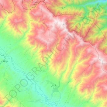
Name: Abbar topographic map, elevation, terrain.
Location: Abbar, بخش مرکزی, Tarom County, Zanjan Province, Iran (36.86161 48.83725 37.17667 49.12004)
Average elevation: 4,383 ft
Minimum elevation: 728 ft
Maximum elevation: 9,347 ft