
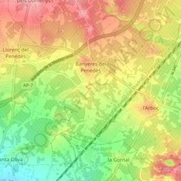
Banyeres del Penedès topographic map
Interactive map
Click on the map to display elevation.
About this map
Name: Banyeres del Penedès topographic map, elevation, terrain.
Average elevation: 472 ft
Minimum elevation: 266 ft
Maximum elevation: 673 ft
Other topographic maps
Click on a map to view its topography, its elevation and its terrain.
el Vendrell
Espagne > Catalogne > Bas-Pénédais
el Vendrell, Bas-Pénédais, Tarragone, Catalogne, 43700, Espagne
Average elevation: 220 ft
l'Arboç
Espagne > Catalogne > Bas-Pénédais
l'Arboç, Bas-Pénédais, Tarragone, Catalogne, 43720, Espagne
Average elevation: 505 ft
Bonastre
Espagne > Catalogne > Bas-Pénédais
Bonastre, Bas-Pénédais, Tarragone, Catalogne, 43884, Espagne
Average elevation: 768 ft