
Àger topographic map
Interactive map
Click on the map to display elevation.
About this map
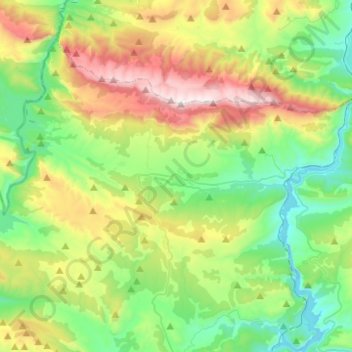
Name: Àger topographic map, elevation, terrain.
Location: Àger, Noguera, Lleida, Catalonia, 25691, Spain (41.92969 0.64193 42.07456 0.88865)
Average elevation: 2,500 ft
Minimum elevation: 1,056 ft
Maximum elevation: 5,476 ft