
Theniet El Had topographic map
Interactive map
Click on the map to display elevation.
About this map
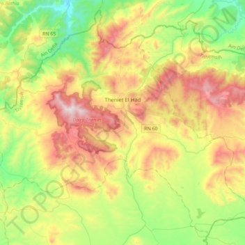
Name: Theniet El Had topographic map, elevation, terrain.
Location: Theniet El Had, Daïra Theniet El Had, Tissemsilt, 38200, Algérie (35.71780 1.86588 35.97698 2.21343)
Average elevation: 3,337 ft
Minimum elevation: 1,670 ft
Maximum elevation: 5,837 ft