
Capanna Mautino topographic map
Interactive map
Click on the map to display elevation.
About this map
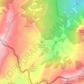
Name: Capanna Mautino topographic map, elevation, terrain.
Location: Capanna Mautino, Ponte Chabaud, Césane, Turin, Piémont, Italie (44.90273 6.78943 44.90284 6.78967)
Average elevation: 7,110 ft
Minimum elevation: 5,902 ft
Maximum elevation: 8,005 ft
Other topographic maps
Click on a map to view its topography, its elevation and its terrain.
Ponte Chabaud
Italie > Piémont > Turin > Césane
Ponte Chabaud, Césane, Turin, Piémont, 10054, Italie
Average elevation: 6,795 ft