
Porto Ottiolu topographic map
Interactive map
Click on the map to display elevation.
About this map
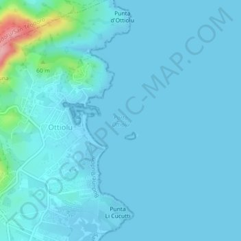
Name: Porto Ottiolu topographic map, elevation, terrain.
Location: Porto Ottiolu, Ottiolu, 07051, Italie (40.73808 9.71648 40.73818 9.71658)
Average elevation: 36 ft
Minimum elevation: -10 ft
Maximum elevation: 446 ft