
基伍甲登 topographic map
Interactive map
Click on the map to display elevation.
About this map
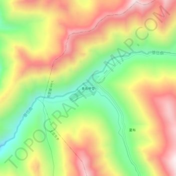
Name: 基伍甲登 topographic map, elevation, terrain.
Location: 基伍甲登, 帕里镇, 亚东县, 日喀则市, 西藏自治区, 中国 (27.58230 89.04592 27.62230 89.08592)
Average elevation: 14,593 ft
Minimum elevation: 13,199 ft
Maximum elevation: 16,017 ft
Other topographic maps
Click on a map to view its topography, its elevation and its terrain.