
Bernardino Caballero topographic map
Interactive map
Click on the map to display elevation.
About this map
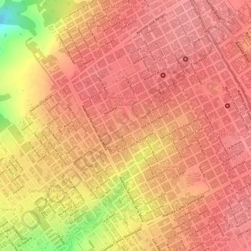
Name: Bernardino Caballero topographic map, elevation, terrain.
Average elevation: 2,119 ft
Minimum elevation: 1,867 ft
Maximum elevation: 2,185 ft
Other topographic maps
Click on a map to view its topography, its elevation and its terrain.
Parque Nacional Cerro Corá (Entrada)
Parque Nacional Cerro Corá (Entrada), PJC, Amambay, Región Oriental, Paraguay
Average elevation: 876 ft