San Felipe topographic map
Interactive map
Click on the map to display elevation.
About this map
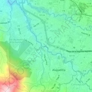
Name: San Felipe topographic map, elevation, terrain.
Average elevation: 3,753 ft
Minimum elevation: 3,363 ft
Maximum elevation: 4,882 ft

Click on the map to display elevation.
Name: San Felipe topographic map, elevation, terrain.
Average elevation: 3,753 ft
Minimum elevation: 3,363 ft
Maximum elevation: 4,882 ft