
Greensboro topographic map
Interactive map
Click on the map to display elevation.
About this map
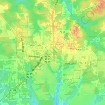
Name: Greensboro topographic map, elevation, terrain.
Location: Greensboro, Hale County, Alabama, 36744, United States (32.68753 -87.61203 32.71628 -87.57278)
Average elevation: 259 ft
Minimum elevation: 187 ft
Maximum elevation: 322 ft