
Cima di Entrelor topographic map
Interactive map
Click on the map to display elevation.
About this map
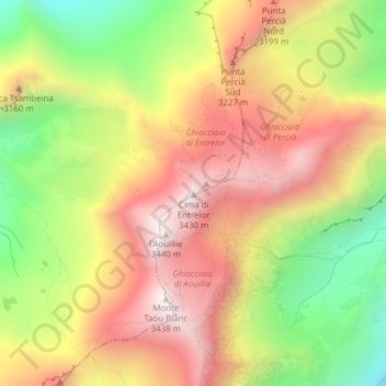
Name: Cima di Entrelor topographic map, elevation, terrain.
Location: Cima di Entrelor, Rhêmes-Notre-Dame, Aosta Valley, Italy (45.52957 7.15069 45.52967 7.15079)
Average elevation: 9,862 ft
Minimum elevation: 8,301 ft
Maximum elevation: 11,201 ft