
Humboldt State Wildlife Management Area topographic map
Interactive map
Click on the map to display elevation.
About this map
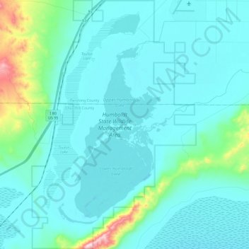
Name: Humboldt State Wildlife Management Area topographic map, elevation, terrain.
Average elevation: 4,049 ft
Minimum elevation: 3,848 ft
Maximum elevation: 5,535 ft