
Rio Tapajós topographic map
Interactive map
Click on the map to display elevation.
About this map
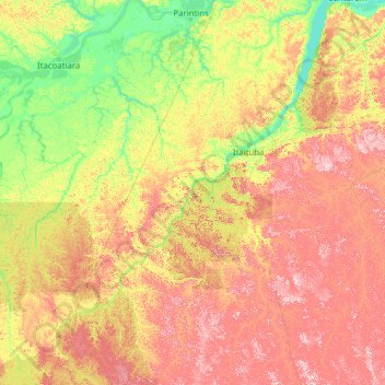
Name: Rio Tapajós topographic map, elevation, terrain.
Average elevation: 440 ft
Minimum elevation: -3 ft
Maximum elevation: 1,572 ft
Other topographic maps
Click on a map to view its topography, its elevation and its terrain.
Parque Nacional da Serra do Pardo
Parque Nacional da Serra do Pardo, Altamira, Microrregião de Altamira, Mesorregião Sudoeste Paraense, PA, Région Nord, Brésil
Average elevation: 738 ft