
Le Dévezou topographic map
Interactive map
Click on the map to display elevation.
About this map
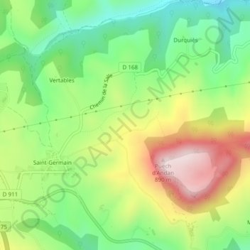
Name: Le Dévezou topographic map, elevation, terrain.
Average elevation: 2,083 ft
Minimum elevation: 1,496 ft
Maximum elevation: 2,904 ft
Other topographic maps
Click on a map to view its topography, its elevation and its terrain.
Dolmen Tioulouse
France > Occitanie > Millau > Les Fialets
Dolmen Tioulouse, La Méridienne, Les Fialets, Millau, Aveyron, Occitanie, France métropolitaine, 12100, France
Average elevation: 2,146 ft