
Terlton topographic map
Interactive map
Click on the map to display elevation.
About this map
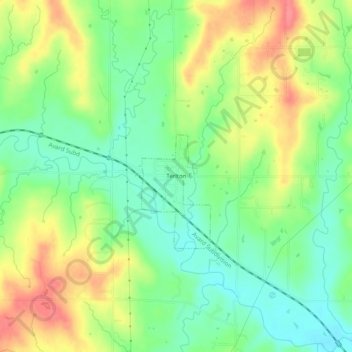
Name: Terlton topographic map, elevation, terrain.
Location: Terlton, Pawnee County, Oklahoma, 74081, United States (36.16813 -96.51030 36.20813 -96.47030)
Average elevation: 833 ft
Minimum elevation: 735 ft
Maximum elevation: 958 ft