
Manes topographic map
Interactive map
Click on the map to display elevation.
About this map
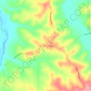
Name: Manes topographic map, elevation, terrain.
Location: Manes, Wright County, Missouri, États-Unis d'Amérique (37.36005 -92.38683 37.40005 -92.34683)
Average elevation: 1,194 ft
Minimum elevation: 1,030 ft
Maximum elevation: 1,398 ft