
张山营镇 topographic map
Interactive map
Click on the map to display elevation.
About this map
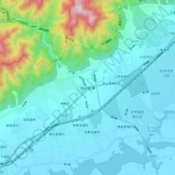
Name: 张山营镇 topographic map, elevation, terrain.
Location: 张山营镇, 延庆区, 北京市, 中国 (40.43578 115.79786 40.51578 115.87786)
Average elevation: 2,041 ft
Minimum elevation: 1,545 ft
Maximum elevation: 4,590 ft
Other topographic maps
Click on a map to view its topography, its elevation and its terrain.