
Riner topographic map
Interactive map
Click on the map to display elevation.
About this map
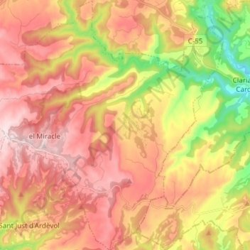
Name: Riner topographic map, elevation, terrain.
Location: Riner, Solsonés, Lérida, Cataluña, 25290, España (41.87331 1.49940 41.96440 1.61188)
Average elevation: 2,264 ft
Minimum elevation: 1,490 ft
Maximum elevation: 2,844 ft