
Beris Reservoir topographic map
Interactive map
Click on the map to display elevation.
About this map
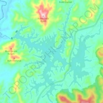
Name: Beris Reservoir topographic map, elevation, terrain.
Location: Beris Reservoir, Kampung Telaga Batu, Sik, Kedah, Malaysia (5.91874 100.74141 5.99781 100.80539)
Average elevation: 427 ft
Minimum elevation: 141 ft
Maximum elevation: 1,437 ft