
Easington Lane topographic map
Interactive map
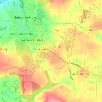
Click on the map to display elevation.
About this map
Name: Easington Lane topographic map, elevation, terrain.
Average elevation: 384 ft
Minimum elevation: 210 ft
Maximum elevation: 535 ft
Other topographic maps
Click on a map to view its topography, its elevation and its terrain.
Hetton-le-Hole
United Kingdom > England > Sunderland
Hetton-le-Hole, Sunderland, North East, England, DH5 9PE, United Kingdom
Average elevation: 338 ft
Hetton
United Kingdom > England > Sunderland
Hetton, Sunderland, Tyne and Wear, North East England, England, United Kingdom
Average elevation: 348 ft