
Hamberg topographic map
Interactive map
Click on the map to display elevation.
About this map
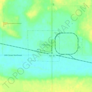
Name: Hamberg topographic map, elevation, terrain.
Location: Hamberg, Wells County, North Dakota, United States (47.75815 -99.52265 47.76726 -99.50860)
Average elevation: 1,558 ft
Minimum elevation: 1,529 ft
Maximum elevation: 1,598 ft
Other topographic maps
Click on a map to view its topography, its elevation and its terrain.
Harvey
United States > North Dakota > Wells County
Harvey, Wells County, North Dakota, United States
Average elevation: 1,594 ft