Geolocate

Hamberg topographic map

Click on the map to display elevation.

About this map
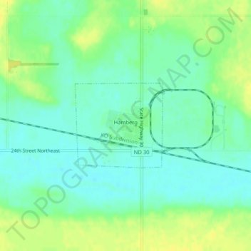
Name: Hamberg topographic map, elevation, terrain.

Location: Hamberg, Wells County, North Dakota, United States (47.75815 -99.52265 47.76726 -99.50860)

Average elevation: 1,558 ft

Minimum elevation: 1,529 ft

Maximum elevation: 1,598 ft

Wells County trails, hiking, mountain biking, running and outdoor activities

Gear up for your next adventure:

😴Insulated Sleeping Pads - Compact and warm pads for high-elevation camping
🏫Relief Map Kits - Hands-on tools for teaching landforms and elevation
🗺️Topographic Maps - Detailed topo maps for hiking, exploring and outdoor navigation
👓Polarized Sunglasses - Outdoor sunglasses for glare reduction
💧Water Filtration Bottles - Safely drink from streams and lakes while exploring

As an Amazon Associate, this site earns from qualifying purchases at no extra cost to you.