
Kaituna River topographic map
Interactive map
Click on the map to display elevation.
About this map
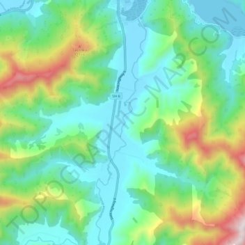
Name: Kaituna River topographic map, elevation, terrain.
Location: Kaituna River, Havelock, Marlborough, New Zealand (-41.36437 173.75691 -41.27970 173.77992)
Average elevation: 879 ft
Minimum elevation: -3 ft
Maximum elevation: 3,294 ft