
Catterlen topographic map
Click on the map to display elevation.
About this map
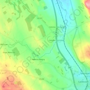
Name: Catterlen topographic map, elevation, terrain.
Location: Catterlen, Westmorland and Furness, England, United Kingdom (54.65926 -2.83734 54.71470 -2.78017)
Average elevation: 574 ft
Minimum elevation: 413 ft
Maximum elevation: 879 ft
Other topographic maps
Click on a map to view its topography, its elevation and its terrain.
Walney Channel
United Kingdom > England > Westmorland and Furness > Roa Island
Average elevation: 13 ft
Pendragon Castle
United Kingdom > England > Westmorland and Furness > Outhgill
Average elevation: 1,132 ft
Kearstwick
United Kingdom > England > Westmorland and Furness > South Lakeland > Kirkby Lonsdale
Average elevation: 312 ft