
Manning topographic map
Interactive map
Click on the map to display elevation.
About this map
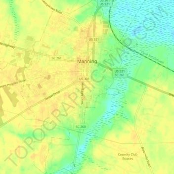
Name: Manning topographic map, elevation, terrain.
Average elevation: 115 ft
Minimum elevation: 59 ft
Maximum elevation: 141 ft
Other topographic maps
Click on a map to view its topography, its elevation and its terrain.
Summerton
United States > South Carolina > Clarendon County
Summerton, Clarendon County, South Carolina, United States
Average elevation: 131 ft