
文瀛公园 topographic map
Interactive map
Click on the map to display elevation.
About this map
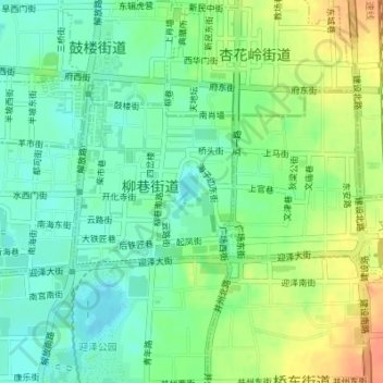
Name: 文瀛公园 topographic map, elevation, terrain.
Location: 文瀛公园, 柳巷街道, 迎泽区, 太原市, 山西省, 030002, 中国 (37.86442 112.56382 37.86452 112.56392)
Average elevation: 2,621 ft
Minimum elevation: 2,562 ft
Maximum elevation: 2,707 ft