
佛坪县 topographic map
Interactive map
Click on the map to display elevation.
About this map
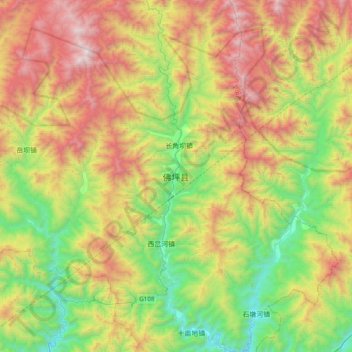
Name: 佛坪县 topographic map, elevation, terrain.
Location: 佛坪县, 汉中市, 陕西省, 中国 (33.36160 107.82500 33.68160 108.14500)
Average elevation: 4,488 ft
Minimum elevation: 1,870 ft
Maximum elevation: 8,323 ft