
Loonse en Drunense Duinen topographic map
Interactive map
Click on the map to display elevation.
About this map
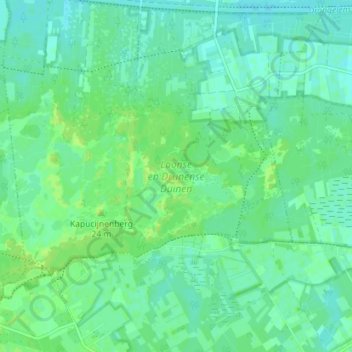
Name: Loonse en Drunense Duinen topographic map, elevation, terrain.
Average elevation: 26 ft
Minimum elevation: 10 ft
Maximum elevation: 46 ft
Other topographic maps
Click on a map to view its topography, its elevation and its terrain.
De Loonse en Drunense Duinen
Nederland > Noord-Brabant > Drunen
De Loonse en Drunense Duinen, Drunen, Heusden, Noord-Brabant, Nederland
Average elevation: 26 ft