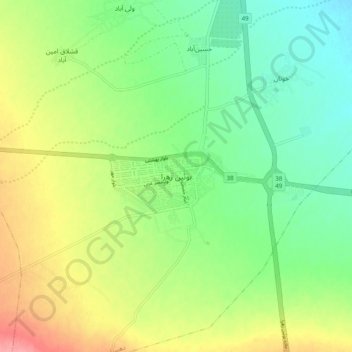
Bou'in-Zahra topographic map
Interactive map
Click on the map to display elevation.
About this map
Name: Bou'in-Zahra topographic map, elevation, terrain.
Average elevation: 4,012 ft
Minimum elevation: 3,898 ft
Maximum elevation: 4,190 ft

Click on the map to display elevation.
Name: Bou'in-Zahra topographic map, elevation, terrain.
Average elevation: 4,012 ft
Minimum elevation: 3,898 ft
Maximum elevation: 4,190 ft