
Waikoikoi topographic map
Interactive map
Click on the map to display elevation.
About this map
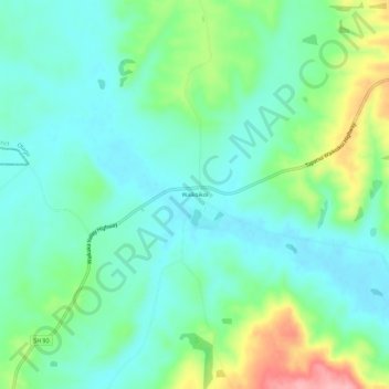
Name: Waikoikoi topographic map, elevation, terrain.
Location: Waikoikoi, Clutha District, Otago, New Zealand (-46.02629 169.13246 -45.98629 169.17246)
Average elevation: 518 ft
Minimum elevation: 397 ft
Maximum elevation: 840 ft