
Amidon topographic map
Interactive map
Click on the map to display elevation.
About this map
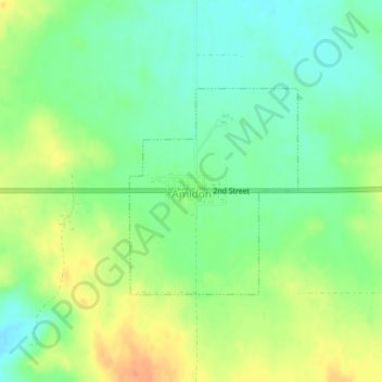
Name: Amidon topographic map, elevation, terrain.
Location: Amidon, Slope County, North Dakota, United States (46.47507 -103.32825 46.48966 -103.31093)
Average elevation: 2,910 ft
Minimum elevation: 2,851 ft
Maximum elevation: 2,986 ft