
Laguna del Venado topographic map
Interactive map
Click on the map to display elevation.
About this map
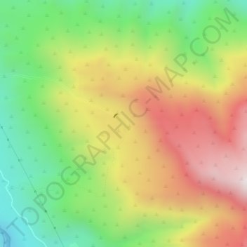
Name: Laguna del Venado topographic map, elevation, terrain.
Average elevation: 4,373 ft
Minimum elevation: 2,986 ft
Maximum elevation: 5,978 ft
Other topographic maps
Click on a map to view its topography, its elevation and its terrain.
Machalí
Chile > Región del Libertador General Bernardo O'Higgins > Machalí
Machalí, Provincia de Cachapoal, Región del Libertador General Bernardo O'Higgins, Chile
Average elevation: 4,777 ft