
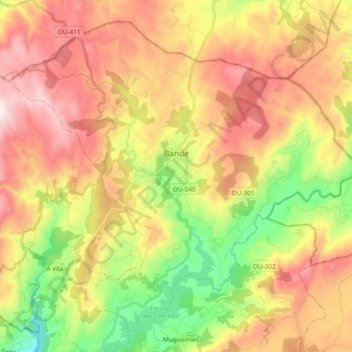
Bande topographic map
Interactive map
Click on the map to display elevation.
About this map
Name: Bande topographic map, elevation, terrain.
Location: Bande, A Baixa Limia, Ourense, Galicië, Spanje (41.96070 -8.06438 42.08394 -7.87628)
Average elevation: 2,687 ft
Minimum elevation: 1,345 ft
Maximum elevation: 4,039 ft