
Puthoor topographic map
Interactive map
Click on the map to display elevation.
About this map
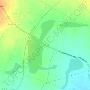
Name: Puthoor topographic map, elevation, terrain.
Location: Puthoor, Tirunelveli, Tirunelveli Kattabo, Tamil Nadu, India (8.78881 77.55786 8.82881 77.59786)
Average elevation: 302 ft
Minimum elevation: 253 ft
Maximum elevation: 367 ft