
Ashmore topographic map
Interactive map
Click on the map to display elevation.
About this map
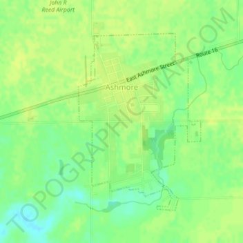
Name: Ashmore topographic map, elevation, terrain.
Location: Ashmore, Coles County, Illinois, United States (39.51938 -88.02852 39.53906 -88.01088)
Average elevation: 692 ft
Minimum elevation: 656 ft
Maximum elevation: 705 ft
Other topographic maps
Click on a map to view its topography, its elevation and its terrain.
Charleston
United States > Illinois > Coles County
Charleston, Coles County, Illinois, 61920, United States
Average elevation: 673 ft
Lake Windermere
United States > Illinois > Coles County
Lake Windermere, Coles County, Illinois, United States
Average elevation: 699 ft