
Abi Gamin topographic map
Interactive map
Click on the map to display elevation.
About this map
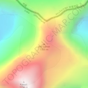
Name: Abi Gamin topographic map, elevation, terrain.
Location: Abi Gamin, Chamoli, Uttarakhand, India (30.93174 79.59993 30.93184 79.60003)
Average elevation: 22,051 ft
Minimum elevation: 19,281 ft
Maximum elevation: 25,180 ft