
Stixe topographic map
Interactive map
Click on the map to display elevation.
About this map
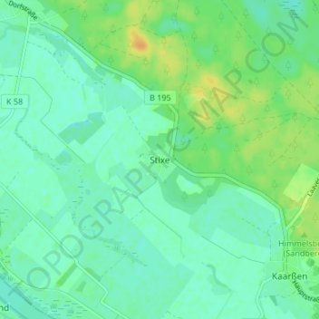
Name: Stixe topographic map, elevation, terrain.
Location: Stixe, Lüneburg, Niedersachsen, Deutschland (53.18837 10.99626 53.22837 11.03626)
Average elevation: 46 ft
Minimum elevation: 16 ft
Maximum elevation: 102 ft