
Craigton topographic map
Interactive map
Click on the map to display elevation.
About this map
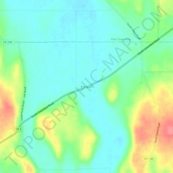
Name: Craigton topographic map, elevation, terrain.
Location: Craigton, Clinton Township, Wayne County, Ohio, 44676, USA (40.69645 -82.09015 40.73645 -82.05015)
Average elevation: 1,014 ft
Minimum elevation: 932 ft
Maximum elevation: 1,194 ft